Affordable and Reliable Resurvey
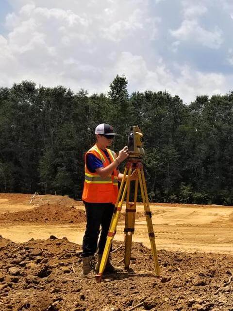
Before the advancement of technology, surveyors worked with rudimentary tools and techniques. Old surveyors did not have computers, lasers, robotics, or Global Positioning System (GPS). There have been many technical advancements over the years that have provided more accuracy in surveying.
Older surveys may include monuments or landmarks that are no longer on the property. Potential or actual property owners may want to have a resurvey to have an accurate and up to date survey.
A resurvey is a reconstruction of property boundaries and subdivisions by rerunning and remarking the lines represented in the field note record and/or from plat of a previous survey. Field notes are qualitative and technical facts and a plat is a drawn map from a survey. The resurvey includes a field note recording the survey techniques utilized for the resurvey, all available information and facts from previous surveys, description of all work completed, location of monument placement, and a plat of the resurvey. The appropriate agency will decide on the final approval of the resurvey.
A dependent resurvey is “dependent” on the original survey. Our licensed professional survey team will retrace and reestablish the original property lines. The resurvey is a representation of the true original property corners and boundaries. The property in the dependent resurvey is indistinguishable from the original survey.
An independent resurvey is “independent” of the original survey of public lands. It does not reference the original survey. An independent resurvey will establish new section lines and will supersede the original survey. Our team will survey utilizing metes and bounds to identify land tracts described in the original survey. Metes and bounds is a reference to the boundaries of a property. It identifies a starting point and gives a sequential description as it rotates around to the starting point.
A retracement is a survey that identifies monuments (survey markers) and confirms the direction and length of property lines. One reason a retracement survey may be necessary is to “retrace” a long distance when a corner monument is lost. It is found by referencing a known corner. If the retracement is in accord with the original survey, it is usually not shown in the records. A retracement may rehabilitate lost corners, but it does not restore them. It may utilized to refute and show evidence of the quality and order of the original or prior surveys. A retracement may be conducted independent of a resurvey, but normally is performed at the beginning of a resurvey.
Disputes between neighbors are often settled with a resurvey. A licensed professional surveyor can resurvey to show the actual property lines verses what each property owners “believes” are the property lines. A resurvey will be an asset if a court case over disputed property lines.
A resurvey like original surveys must be accurate. Our professional surveying team has the experience and knowledge working in the field and preparing legal documents. A resurvey can alleviate current problems and potentially prevent issues in the future. We provide detailed oriented services at an affordable price. For a resurvey or questions, call us at (205) 688-6656.