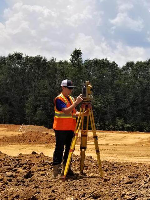
Topographic Survey For A Dam
Project Details
Job Done
Topographic Survey
Year
2020
Project Summary
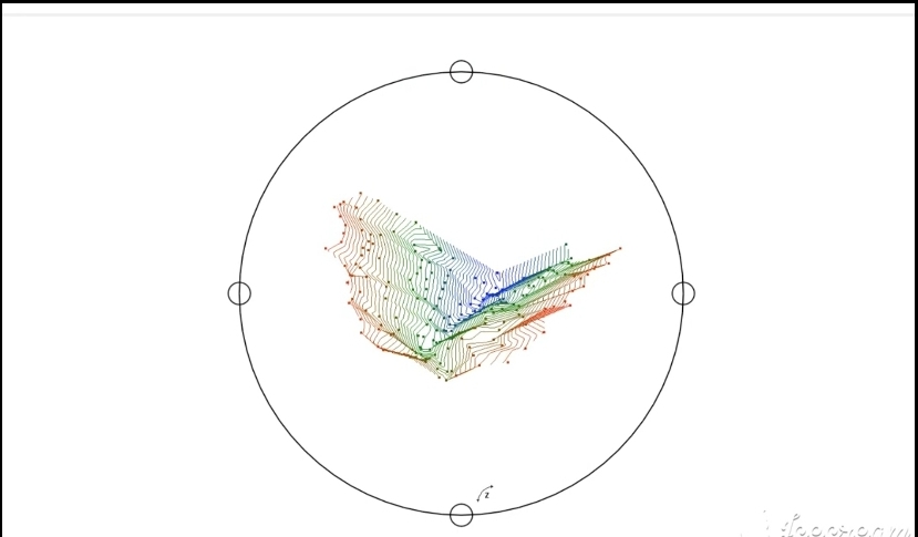
This video is a topographic survey for a dam design(pond). Begins showing the raw data (points collected in field) next tin file creation then contours and ends with a 3D view. Good example of office work after fieldwork. Watch until the end.
Are you interested in topographic survey? Call or text Randy at (205) 688-6656