Our Services
ALTA Surveys
Before buying certain property (especially commercial), it’s important to have a detailed survey conducted on the land to include any improvements.
Read More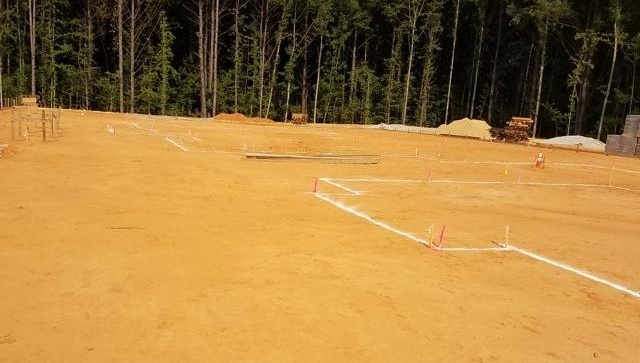
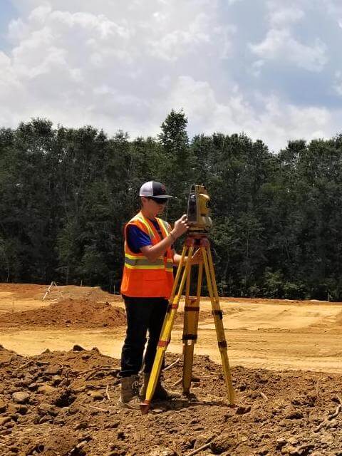
Construction Layout
Alabama Surveying & Mapping analyses and interprets architectural or engineering plans to stake out the location and elevation of a proposed new structures.
Read More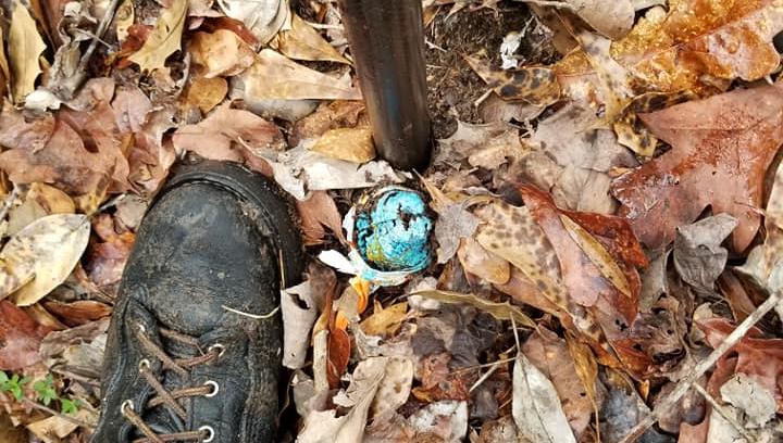
House Corner Staking
Corner staking is for the specific purpose of ensuring that a particular structure is accurately positioned on a parcel of land.
Read More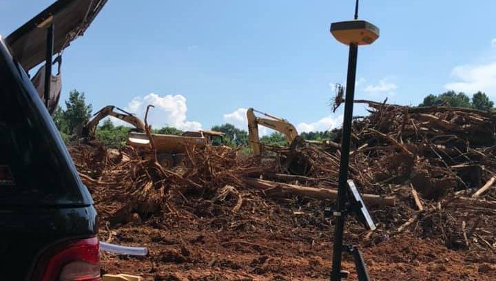
Site Plan
Once an initial land survey has been performed on a parcel of residential property, the surveyor will draw up a set of house site plans to demonstrate the proposed development of the land.
Read More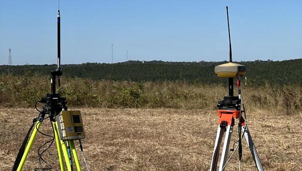
As-Built Survey
A pre-construction survey may be required before commercial or residential work is begun on a new structure or an addition to an existing building.
Read More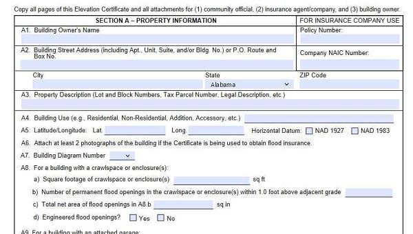
FEMA Elevation Certification
The FEMA Elevation Certificate is a tool that shows your building’s elevation which is the height or distance that the building is above a particular point.
Read More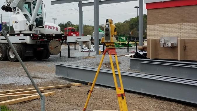
Resurvey
Resurvey is often needed, because old surveyors did not have computers, lasers, robotics, or Global Positioning System (GPS).
Read More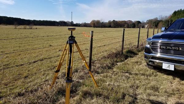
Topographic Surveys
Unlike other types of surveys that measure horizontal distance, a topographic survey measures the vertical distance either above or below the surface of a reference point.
Read More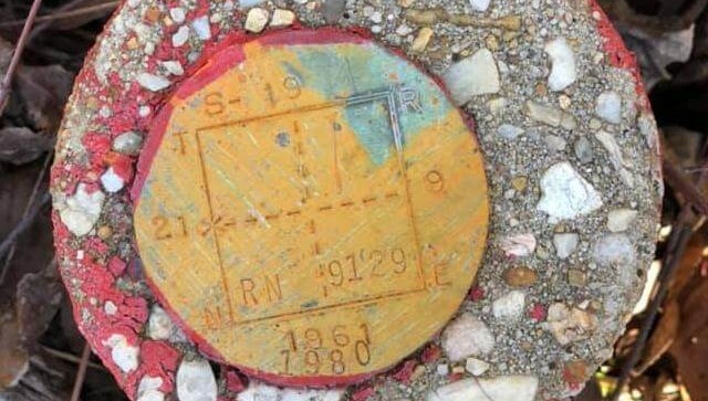
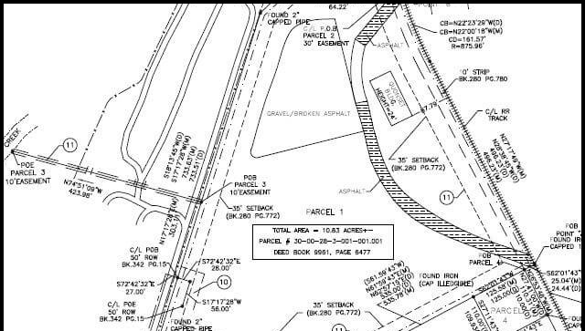
Boundary Survey
A boundary survey is performed to determine property lines and property corners of a certain parcel of land as described in a property deed.
Read More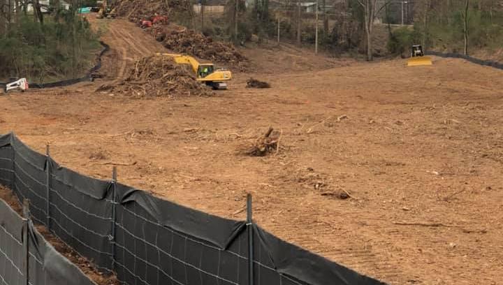
Foundation Surveys
A Foundation Survey is conducted to locate improvements in new construction or additions. It will ascertain that the foundation was poured correctly
Read More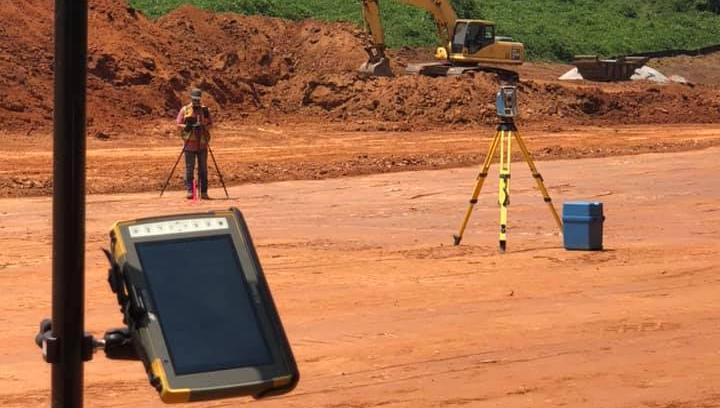
Property Line Staking
Our professional survey team properly and accurately conducts property line staking on residential or commercial land.
Read More