Affordable and Reliable Topographic Surveys
A topographic survey collects data related to the elevation of different points on a parcel of land. Unlike other types of surveys that measure horizontal distance, a topographic survey measures the vertical distance either above or below the surface of a reference point. The collected data is presented as contour lines on a plot.
This information is utilized to present elevation and grading attributes to contractors, engineers and architects. A topographic survey is crucial to planning, designing and drawing any improvements on the land. The information is used to plan the location of an improvement on the property. Existing factors may determine where structures may or may not be built, or what additional work may be required.
In addition to the elevation measurements, a topographic survey gathers data about natural characteristics of the land and artificial improvements on the land.
Natural characteristics include such things as slopes, hills, ravines, slopes, streams, rivers, lakes, and trees. Artificial improvements are man made things like buildings, fences, and utilities, and other visible improvements that are built on the natural condition of the land.
Above ground utilities such as street lights and lamps, electrical and cable boxes, overhead utility lines, and any other evidence of improvements that are visible can be included in the drawing. When underground utilities have been marked by an appropriate agency or business, our surveying team can include them as a part of the topographic survey drawing.
A topographic survey measures the vertical (height), size and location of improvements and the gradual transitions or contours (peaks and valleys) in elevation. This survey does not involve placing markers, monuments or flags, but is presented as a drawing.
Most construction projects start with a topographic survey and may be required before a real estate transaction. It provides information about the current condition of land prior to any construction work. This is a starting point tool for engineers and architects who are planning, designing, and making proposals and decisions about a project. Existing natural characteristics and/or artificial improvements, and their size and location may influence the plans for new construction or additions/remodeling to existing buildings.
Topographic surveys are necessary for civil engineers to design roads, bridges, roads, and other public (or private) improvements. When planning and designing utility installation, grading and drainage projects, an accurate topographic survey is critical for a successful plan.
Utilizing the natural landscape of a parcel of land in drainage plans, grading requirements, and other improvements is visibly appealing as well as cost effective. A topographic survey is essential in developing these plans and requirements.
Governing authorities may require a topographic survey, because of regulations, building or zoning codes, or environmental concerns.
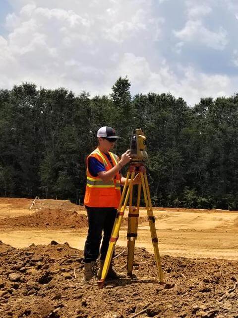
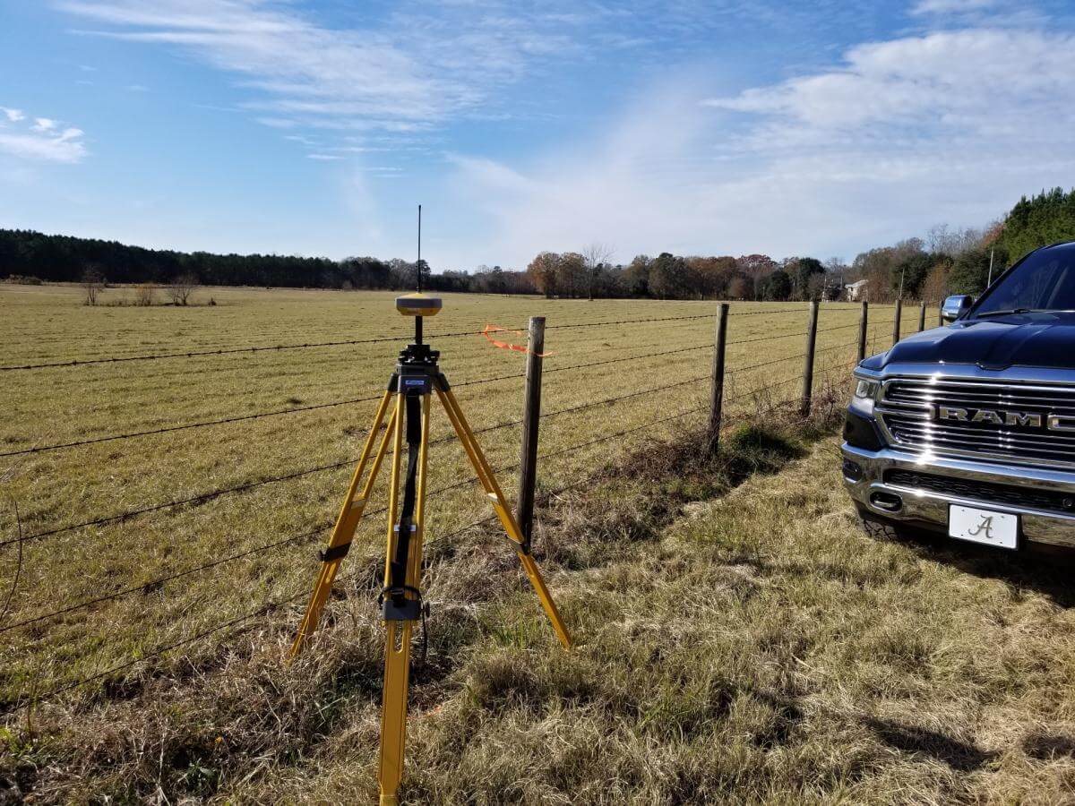
The topographical drawing is accurate because our professional team uses the latest equipment including Global Positioning System (GPS), robotics, and electronic distance measurement (EDM) instruments. With new innovative computer programs, our topographic data can be converted to a digital form. The digital version is interactive and can be manipulated and utilized by contractors, engineers and architects. manipulate, utilize and update the topography as needed during the planning, excavating, and actual construction of improvements.
Our professional and licensed surveyor develops a topographic or contour line map as requested with accuracy and reliability at an affordable cost. If an extremely detailed topographic survey is needed, we will collect supplemental data to meet your requirements. When a simple and less detailed topographic survey is needed, less data is required to complete the drawing.
It is important to hire a professional licensed surveyor to complete your topographic survey. With our expertise and years of experience, advanced equipment, accuracy and reliability, we can provide a precise topographic survey at a reasonable price to you. To schedule a professional topographic survey or questions, contact us at at (205) 688-6656.