Land surveying questions & answers
What survey do you need, how long it takes, what affects the cost and what you receive – straight answers from Randy Phillips, PLS. Don’t see your question? Call (205) 688-6656.
FAQ
Frequently asked questions
Which survey do I need?
It depends on what you are doing. Buying, selling or dividing land, or a disagreement with a neighbor: a boundary survey. A commercial purchase with a lender: an ALTA/NSPS survey. Building: a site plan, corner staking and a foundation survey. Flood insurance: an elevation certificate. Design work: a topographic survey. Not sure? Call – Randy will tell you on the phone.
How much does a land survey cost?
Every property is different. The price depends on the size and shape of the parcel, the terrain and tree cover, the condition of the records and how many corners have to be found or re-set. Call or send the form with the address or parcel number and you get a quote before any work begins.
How long does a survey take?
It depends on the research, the size of the property and our schedule. A FEMA elevation certificate usually takes about 3 days for our part. Tell us your deadline – a closing date, a permit or a construction schedule – and we will tell you honestly whether we can meet it.
What will I receive?
For a boundary survey: corners marked in the field and a signed drawing with the legal description, by e-mail and as a printed copy. Other surveys deliver a drawing, a certificate or stakes on the ground, depending on the service.
Do I need to be there during the survey?
Usually not. We need access to the property and, where relevant, to gates or buildings. It helps to tell us about any corners or markers you know of.
What should I have ready?
Your deed or parcel number, any old survey or plat, and – for construction or closings – the site plan, the title commitment or the lender’s requirements.
Are you licensed and insured?
Yes. Randy Phillips is a licensed Professional Land Surveyor (PLS) and the company is fully licensed and insured.
Which areas do you cover?
We are based in Clanton and work throughout Central Alabama – Chilton, Autauga, Shelby, Jefferson, Montgomery and Dallas counties – and across the whole state. Some projects take us to Mississippi and Georgia.
Do you use drones?
Yes – for orthomosaic images, 3D models and topographic data of larger sites such as quarries, farms, rooftops and parking lots.
Still not sure?
Pick your situation
You probably need
Boundary Survey
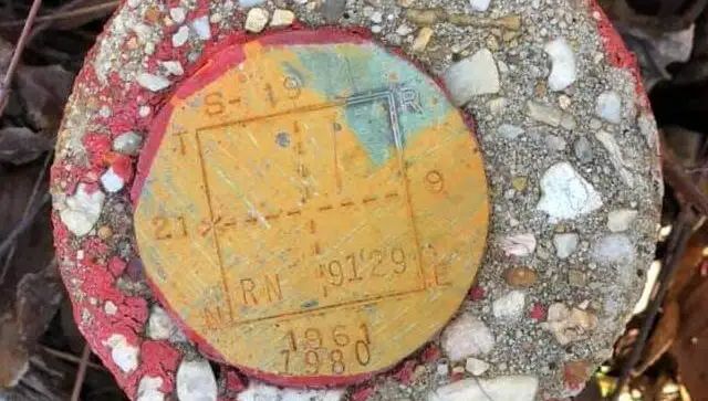
Buyers want to know exactly what they are buying; sellers want the actual size and a more accurate value of their property. A boundary survey gives every party a detailed document to make informed decisions.
You probably need
Boundary Survey
If you suspect a neighbor is encroaching on your land – or you’re being accused of encroachment – a boundary survey settles it. It also settles easement disputes with utility companies or agencies.
You probably need
ALTA Surveys
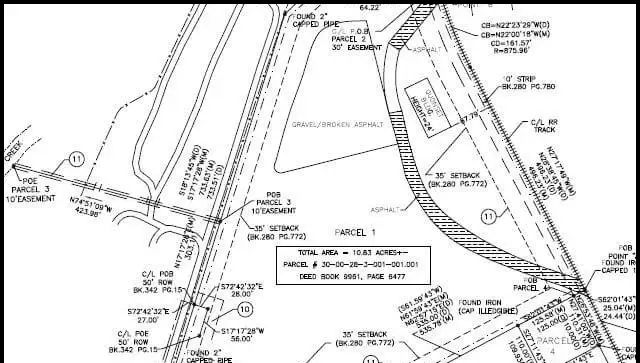
Commercial purchases usually require an ALTA/NSPS survey by the lender. It reveals easements, encroachments and boundary issues before they derail the transaction.
You probably need
FEMA Elevation Certificate
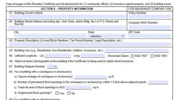
An Elevation Certificate is needed to challenge a FEMA flood zone determination or to reduce your flood insurance premium. We usually complete our part of a flood study in 3 days.
You probably need
Topographic Surveys
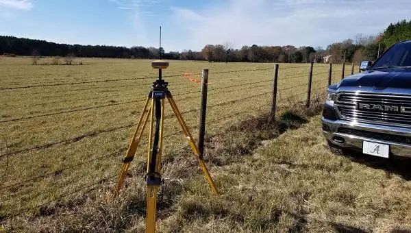
Most construction projects start with a topographic survey. It shows slopes, contours, trees, utilities and improvements – everything needed for grading, drainage and design.
You probably need
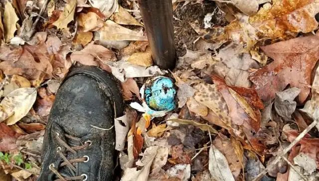
House Corner Staking
House corner staking makes sure your new home is positioned exactly where it belongs on the lot. A site plan comes first, a foundation survey follows once the slab or footings are poured.
You probably need
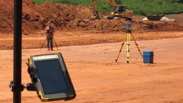
Property Line Staking
Property line staking marks your lines in the field with stakes and flags every 50 feet or so – so the fence goes on your side of the line, not your neighbor’s.
You probably need
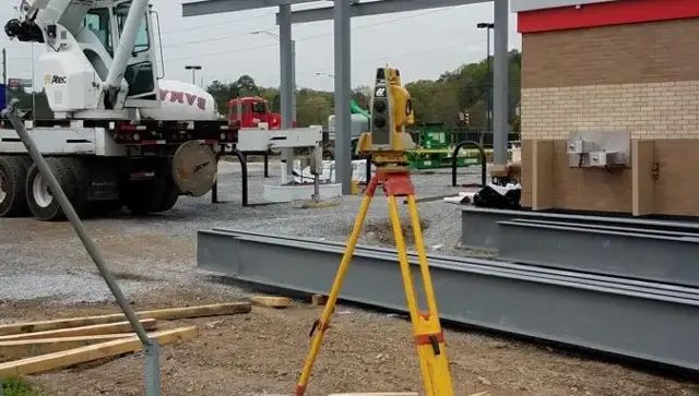
Resurvey
Old surveyors did not have computers, lasers, robotics or GPS. A resurvey re-establishes your corners and lines with today’s accuracy.
Have a question about your property?
Call or text Randy – you will talk directly to a licensed land surveyor.